
UKSA funds satellite instruments to monitor climate
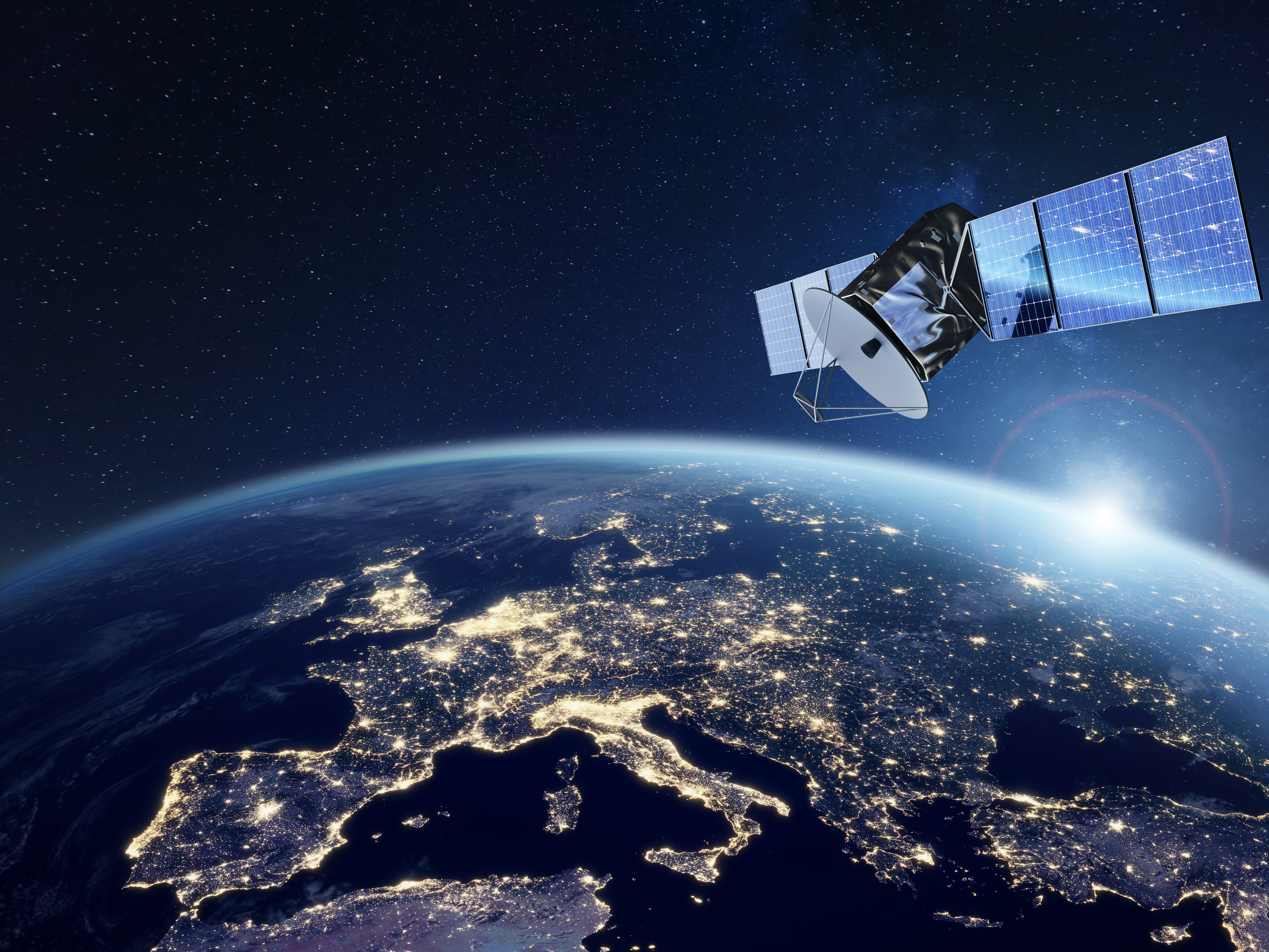
Image by ByNicoElNino / copyright Shutterstock
Delivered by the Centre for Earth Observation Instrumentation (CEOI), the £9 million will support 12 projects that will enhance the ability to monitor Earth’s atmosphere and measure critical emissions such as carbon dioxide, methane and nitrogen dioxide. This doubles the programme’s previous largest funding round.

The instruments under development could give a clearer picture of where activities and incidents producing high levels of emissions – such as wildfires or inefficient farming techniques – are taking place, enabling decision-makers to coordinate more effective responses.
Andrew Griffith MP, Minister for Space at the Department for Science, Innovation and Technology, said: “This exciting new generation of satellite instruments, backed by £9 million in government funding, will play a key part in our efforts to tackle climate change, pinpointing where emissions are highest on our planet and cementing UK leadership in Earth observation, while helping to attract more private investment into this fast-growing sector.”
Beth Greenaway, Head of Earth Observation and Climate at the UK Space Agency, said: “Satellites play a vital role in monitoring emissions, weather patterns and other environmental factors, using a variety of sensors and instruments that return information to Earth. Indeed, some of the information can only be collected from space.
“These new projects highlight the strength and diversity of UK expertise in both universities and companies across the UK – they are at the cutting edge of inventing the newest tools and techniques. The 16th CEOI call shows that we are ready to match the commitment of the UK space sector to ensuring the Earth observation capabilities stay at the forefront of the global demand.”
Last month, ESA shortlisted two ambitious UK projects in the latest round of its Earth Explorers programme, dedicated to backing the most innovative satellite missions that will help positively influence climate science and the operational monitoring of the environment.
Having both received funding from the CEOI programme in the past, these projects include Hydroterra+, which would be placed in geostationary orbit to give data twice a day on water cycles and tectonic events over Europe, the Mediterranean and north Africa and Keystone, which would provide the first direct observations of atomic oxygen at 50-150 km altitude to help scientists examine the impact of solar cycles and space weather on particular regions of our atmosphere.
The Earth Explorers programme includes missions such as the European-Japanese EarthCARE, due to launch later this month to improve the reliability of climate predictions and weather forecasts. More than a decade in the making, EarthCARE has significant UK contributions from Airbus Defence & Space UK, Surrey Satellite Technology, Thales Alenia Space UK, RAL Space, Teledyne e2v, GMV-UK, Telespazio UK, CGI UK and several British universities.
Other upcoming missions include Biomass, which is being built in the UK by Airbus to provide crucial information about the state of forests and how they are changing.
The £9 million CEOI pot will be bolstered with more than £2 million additional funding from the academic and private sectors.
Nicolas Leveque, Director of the CEOI, said: “This additional funding from the UK Space Agency demonstrates its continued support for the development of high-end remote-sensing technologies. These technologies will fill many gaps in our observing capabilities and help better understand some of the more complex processes driving the Earth climate and environment. This funding round will act as an accelerator, bringing the launch of new instruments forward by several years.
“We also welcome the responsiveness of the research, academic and industrial community, who have put together ambitious work plans to match the level of investment.”
THE CEOI PROJECTS
CITISCAN Payload Development (£1,150,000) - Thales-Alenia Space UK with support from University of Leicester
CITISCAN aims to further develop two new instruments to measure aerosols like nitrogen dioxide at a high resolution, in near real-time in urban areas. The project will further define specific mission requirements through community collaboration, and progress towards technological readiness through redesign and maturing the electronics.
Cold Atom Interferometry Thermosphere Drag Measurement (CAITDM) (£1,000,000) - STFC-RAL with support from University of Nottingham and Metamorphic Additive Manufacturing Ltd
CAITDM will resolve knowledge gaps in our understanding of the upper atmosphere using a cold-atom accelerometer to precisely measure its spatial and temporal fluctuations. The project will build a fully functional breadboard to demonstrate the concept, while developing the electronics control and laser technology on board.
SOLSTICE: Solar Occultation Limb Sounding Transformative Instruments for Climate Exploration (£2,300,000) - STFC-RAL with support from Bright Ascension and Open Cosmos
SOLSTICE aims to improve monitoring of changes in the atmosphere using two instruments working together: HIROS is a thermal infrared spectrometer providing information on atmospheric transmission of gases, and HSDI is an imager for water vapour, aerosols and air pressure. This project will produce and test a representative payload model, validate its scientific accuracy and value, and further develop data interfaces and ground platforms.
Prototyping an unfolding space telescope for a small satellite platform (£900,000) - Super-Sharp Space Systems with support from In-Space Missions Ltd
This project aims to develop an unfolding, self-aligning thermal infra-red space telescope to produce maps that can identify activities with high carbon emissions, as well as identify wildfires or improve crop irrigation. Through CEOI the team aims to develop a prototype of the platform for a small-sat.
The Near Infrared Multispectral Camera for Atmospheric Methane (NIMCAM): Instrument demonstration and space mission development (£1,700,000() - University of Edinburgh with support from UKATC, NPL
Building on prior support, NIMCAM aims to capitalise on the growing demand for methane measurements by building a high spatial resolution near-infrared camera to improve global coverage and discover smaller leaks than ever before. The grant focuses on an airborne demonstration as well as the satellite mission and instrument design and space-relevant environment testing.
Hyperspectral Chroma-D Instrument (HERCHI) Payload Development (£900,000) – Surrey Satellite Technology Ltd, with support from Pixalytics Ltd
Hyper-spectral cameras can target molecules such as carbon dioxide, nitrogen dioxide, cobalt and methane in the atmosphere to measure carbon emissions and air quality and this new generation of technology will create a new generation of detectors. The project will produce a breadboard model of a camera and perform some basic characterisation as part of its technological readiness-raising activities.
Expanding GNSS-R for HydroGNSS Constellation (£250,000) – Surrey Satellite Technology Ltd with support from University of Nottingham and National Oceanography Centre, Southampton
While HydroGNSS aims to be launched in 2024, SSTL aim to investigate other novel uses of the system. As part of the project, they will examine methods of gaining global navigation satellite system (GNSS) altimetry, combining with other GNSS providers and the effects of radio frequency interference.
Umbrella Radiation Monitor: Phase 2 Demonstration Model Development (£250,000) - Umbrella Space Science Ltd with support from BGHTECH Ltd and Leese SPM Ltd
This novel instrument aims to map Earth’s radiation environment in-situ and in real time, which is essential for image-based satellites and their background calibrations. This work will develop and test an early demonstration model and mature the design to fit in a 0.5 Cubesat.
3.5 THz Receiver Breadboard for Upper Atmosphere Science (£250,000) – Science and Technology Facilities Council RAL Space with support from University of Leeds
This work focuses on further developing a 3.5 THz receiver for the Keystone mission dedicated to studying the poorly understood mesosphere and lower thermosphere of the atmosphere. Through a testing and development programme and integration of a commercial Schottky diode, the project will raise technological readiness level and validate the radio frequency, electronic and thermal performance of the instrument.
Evaluation of Novel Design for reduced dark current in VLWIR MCT arrays (£67,000) - Leonardo UK
This project hopes to improve the use of very longwave infrared (VLWIR) by reducing the dark current noise inherent in these instruments, leading to more accurate and powerful detectors. The project will develop a novel VLWIR array and gather data on its performance.
EO-APU: Prototype Development for an AI-Driven EO Processing Unit (£75,000) - Surrey AI Imaging Ltd with support from Blue Sky Imaging Ltd
The massive increase in the available data from satellites necessitates new methods of processing and organising that data for it to be usable and valuable. This project begins the development of an AI processing unit that will eventually make its way on board satellites to pre-analyse data, enhance, or sort them before taking up limited bandwidth on return to Earth.
High-accuracy Magnetometer for Space Weather Instrumentation (HMSWI) (£65,000) - STFC RAL Space with support from BGS, University of Strathclyde and Iota Technology Ltd
This project aims to bring together the functions of two types of magnetometer into one instrument, allowing for cost savings, improved data accuracy and an array of new applications for things like space weather and Earth observation. The initial work will analyse the orbit and noise requirements as well as defining the magnetometer architecture, investigate the engineering implications and produce a feasibility assessment.


